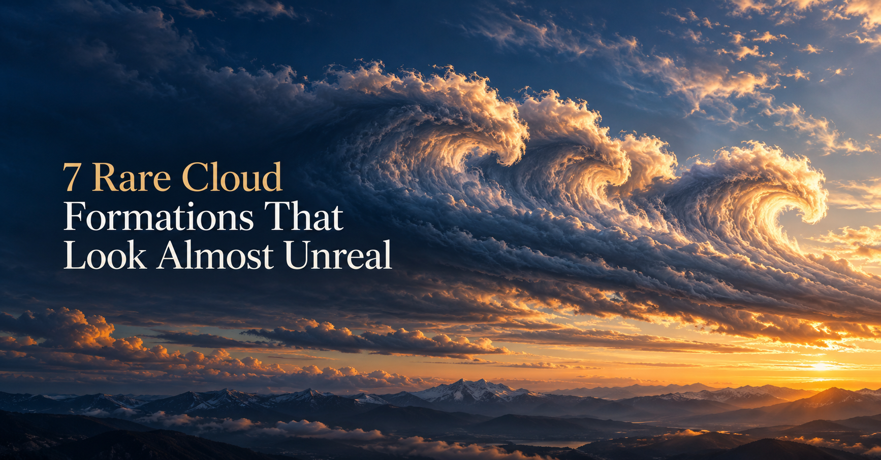
A row of breaking waves can appear where the sea should have nothing to do with the view. Elsewhere, a cloud layer develops a neat opening, or delicate blue threads remain bright after the landscape has gone dark.
These rare cloud formations reveal air currents, ice, and lighting conditions that usually pass unnoticed. Some are brief shapes within ordinary clouds; others belong to much higher atmospheric layers. How often you encounter them depends on location, season, and timing, so their rarity is part of the story rather than a simple worldwide ranking.
1. Kelvin–Helmholtz Clouds: Breaking Waves in the Sky
Also called fluctus, these formations resemble a line of ocean waves curling over an invisible shore. Their distinctive crests appear when adjacent layers of air move at different speeds, creating wind shear.
Under suitable conditions, waves develop along a cloud boundary and curl into rotating shapes. The Royal Meteorological Society describes fluctus as rare and fleeting, with the recognizable pattern lasting only briefly. The cloud is making otherwise invisible movement visible: the atmosphere can develop wave patterns just as water does.
2. Fallstreak Holes: A Missing Piece of Cloud
A fallstreak hole, or cavum, is a well-defined opening in a thin cloud layer, often with wispy ice trails hanging in its center. From below, it can resemble a circle or ellipse cut into the sky.
The surrounding cloud contains supercooled droplets: liquid water below its usual freezing point. Cooling around aircraft wings or propellers can trigger ice formation. As ice crystals grow and fall, the opening develops and spreads. The delicate material beneath the gap provides a useful clue to the process behind it.
3. Nacreous Clouds: Mother-of-Pearl Above the Horizon
Nacreous clouds display luminous pinks, greens, and other pearly colors, especially when the Sun sits several degrees below the horizon. They form in exceptionally cold stratospheric air, mainly at high latitudes during winter.
The World Meteorological Organization describes ice formation at temperatures typically near −85°C, or −121°F. Sunlight interacting with similarly sized ice particles creates the iridescence. Their height allows them to stay brilliantly illuminated after lower clouds have faded into gray. An ordinary colorful cloud edge alone is not enough to identify this formation.
4. Noctilucent Clouds: Blue Threads After Sunset
Noctilucent means night-shining, and these clouds can look like silver-blue ripples suspended above a dark landscape. They form near the top of the mesosphere, roughly 50 miles above Earth's surface.
NASA explains that tiny ice crystals can form on meteor dust and other particles at these heights. The clouds remain sunlit after sunset below, producing their distinctive twilight appearance. They are especially associated with high-latitude summer conditions. Their blue-white glow and seasonal setting help distinguish them from the pearly winter display of nacreous clouds.
5. Asperitas: An Ocean Seen From Underneath
Asperitas transforms a cloud base into a rough, undulating surface, with irregular waves, hollows, and dramatic contrasts between light and shadow. The WMO describes this feature as occurring mostly with stratocumulus and altocumulus.
A 2017 study linked the formations to atmospheric gravity waves: vertical oscillations in the air that can be generated near weather fronts and thunderstorms. These disturbances can reshape a low cloud layer. Changes in illumination and cloud thickness amplify the visual effect, making the textured ceiling look especially dramatic.
6. Morning Glory Clouds: An Enormous Rolling Tube
Morning Glory clouds can stretch for hundreds of miles as long, horizontal rolls. They are particularly associated with the Gulf of Carpentaria in northern Australia, where they recur during the Southern Hemisphere's spring.
Sea breezes interacting across Cape York Peninsula help generate atmospheric waves. Moist air rises and condenses at a wave's leading edge, then descends and evaporates behind it. This continually forms and dissolves the visible cloud as the pattern moves. The result can look like a gigantic cylinder traveling across the landscape.
7. Horseshoe Vortex Clouds: A Loop That Quickly Vanishes
A horseshoe vortex cloud is a small, curved wisp that can resemble a suspended U or crescent. The Cloud Appreciation Society describes it as rare and short-lived, sometimes surviving only a few minutes.
It develops within rotating air on a roughly horizontal axis. A proposed explanation involves rising warm air meeting crosswinds, with continued upward movement bending the cloudy vortex into a horseshoe. Its subtle size and brief life make it easy to overlook. This is a formation whose modest appearance can conceal how unusual the sighting is.
A Quick Guide to the Look-Alikes
Similar shapes or colors can come from different processes. These clues provide a starting point for identification:
| What you noticeFormation to considerUseful distinction | ||
| Repeated curling wave crests | Fluctus | Look for breaking-wave shapes along a cloud boundary. |
| A rough, rippling ceiling | Asperitas | The dramatic waves are on the cloud's underside. |
| Pearly colors in winter twilight | Nacreous clouds | High-latitude cold and lingering illumination support the identification. |
| Silver-blue ripples in summer twilight | Noctilucent clouds | The clouds are much higher, in the mesosphere. |
| A cloud gap containing falling wisps | Cavum | Look for ice trails within the opening. |
| A long horizontal cylinder | Morning Glory or another roll cloud | The full band may extend across a large part of the horizon. |
| A small, isolated curved wisp | Horseshoe vortex | Watch for rapid changes as the loop disperses. |
Why “Rare” Depends on Where You Are
A formation can be unusual across much of the world and still return regularly to a particular region. Australia's Bureau of Meteorology describes how local geography makes Morning Glory clouds a recurring spring phenomenon around Burketown and Normanton.
Other sightings depend strongly on the viewing window. Nacreous and noctilucent clouds need the right atmospheric conditions and favorable illumination to show their most recognizable displays. Fluctus and horseshoe vortices add another challenge: their defining shapes may disappear quickly. Location, season, and duration all influence a cloudwatcher's chances.
These rare cloud formations are especially rewarding because their appearances reveal something about the air around them. Curling crests trace wind shear; a fallstreak hole records ice forming and falling; twilight colors reveal clouds still catching sunlight far above the ground. Learning those clues gives the spectacle more depth. The next unfamiliar shape overhead becomes an opportunity to ask where the cloud sits, how it is changing, and which physical process could produce the view.
Sources
- Royal Meteorological Society — Cloud Spotting for Beginners: Fluctus
- Heymsfield and colleagues, Science — Formation and Spread of Aircraft-Induced Holes in Clouds
- WMO International Cloud Atlas — Cavum
- WMO International Cloud Atlas — Nacreous Clouds
- NASA — Space Station View of Noctilucent Clouds
- WMO International Cloud Atlas — Asperitas
- Royal Meteorological Society — Study Explains the Science Behind Asperitas
- Australian Bureau of Meteorology — Meet the Locals: When the Weather Gives the Place Character
- Cloud Appreciation Society — Horseshoe Vortex